Tatnic Woods Preserve
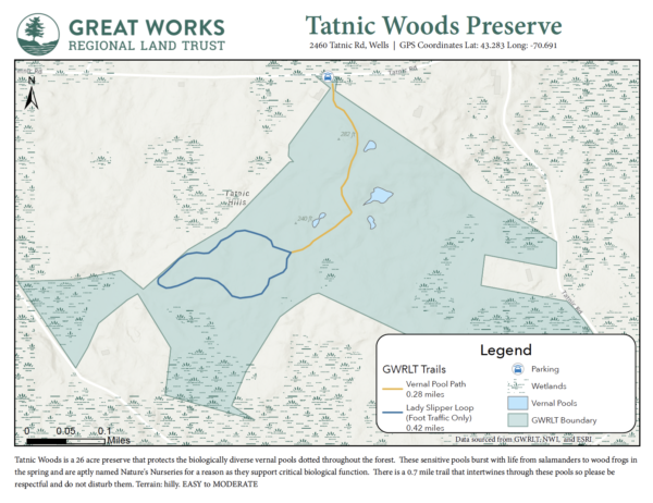 2460 Tatnic Rd, Wells, ME 04090| Parking coordinates: Lat: 43.283 Long: -70.691
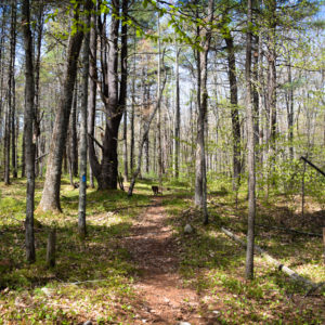
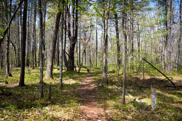
Tatnic Woods is a 26 wooded acres dotted with glacial erratics and vernal pools. These sensitive pools burst with life from salamanders to wood frogs in the spring and are aptly named Nature’s Nurseries for a reason as they support critical biological function. There is a 0.7 mile trail that intertwines through these pools so please be respectful and do not disturb them.
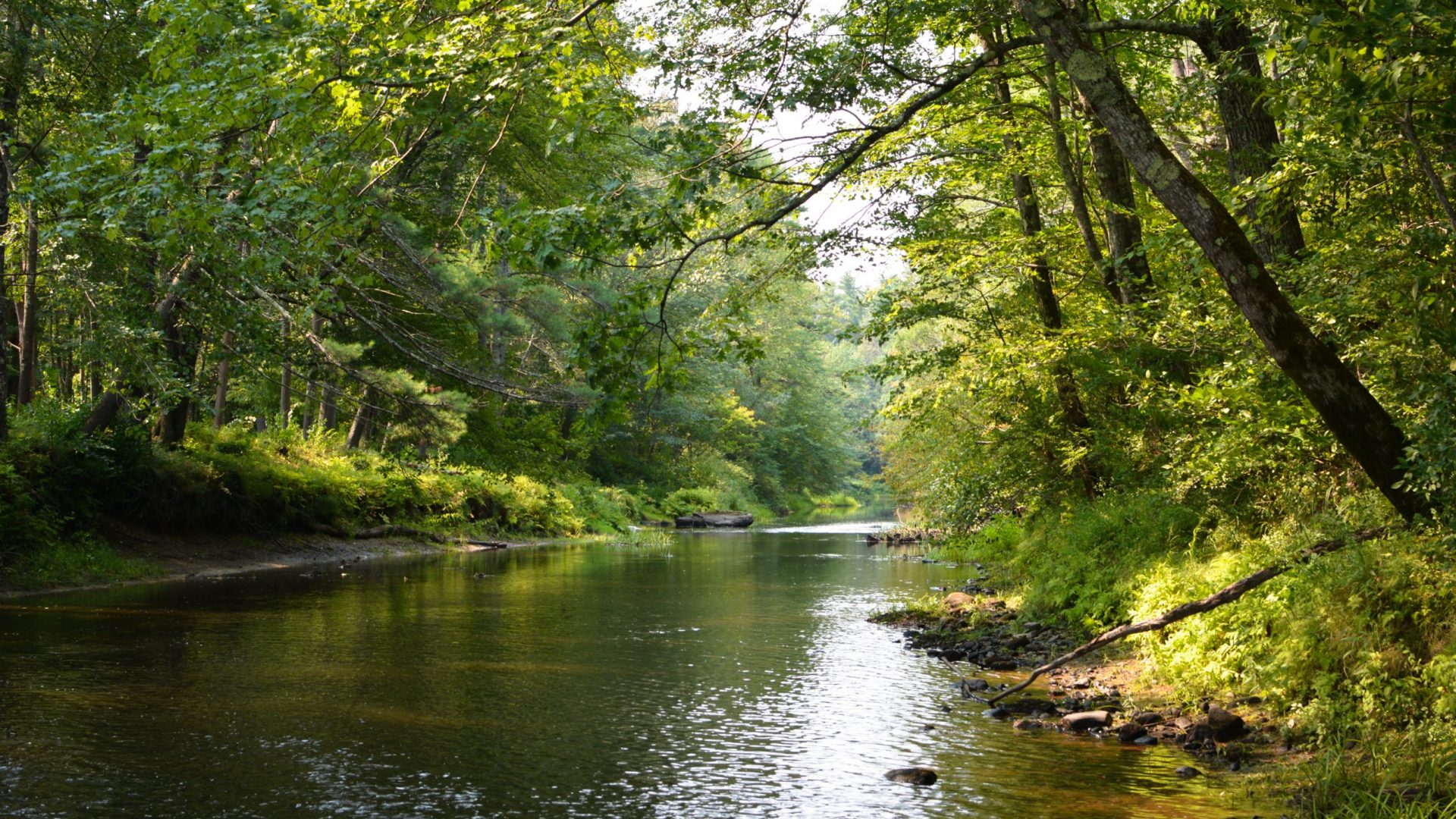
The name ‘Tatnic’ goes back to Maine’s earliest recorded history. A Wabanaki term, although true translation is lost, possibly meaning “the quaking place” referring to the region’s quaking bogs. Geology shows the area as a caldera, the remnants of a volcano that at one time towered over the area. The volcano erupted, the cone collapsed and formed the caldera now known as the Tatnic region. The Tatnic region is loosely located in South Berwick, Wells, Ogunquit, and York. A unique ecological area, the Tatnic region has one of the highest densities of vernal pools in New England. The marshes of the region are the headwaters for the Ogunquit River. Conserved in 2002.
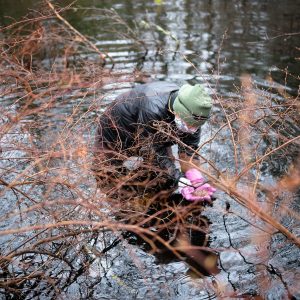
The conserved lands of Tatnic Woods are part of a collaborative effort in the Mt Agamenticus region and MTA2C Conservation Initiative which has conserved over 15,000 acres in southern York County. (www.MtA2C.org)
Terrain : hilly. EASY to MODERATE