Orris Falls Conservation Area
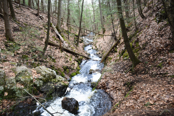
Orris Falls along the River Gorge Trail
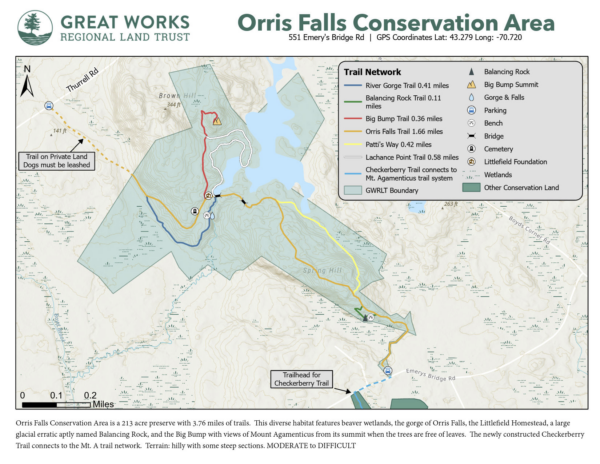 551 Emery’s Bridge Rd or 100 Thurrell Rd, South Berwick, ME 03908| Parking coordinates: Lat: 43.279 Long: -70.720
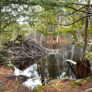
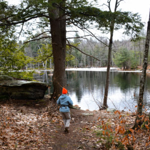
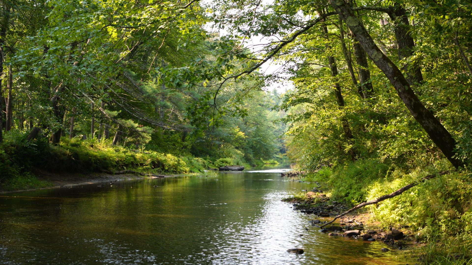
Orris Falls Conservation Area is a 213 acre preserve with 3.76 miles of trails, conserved beginning in 1999. In the heart of Tatnic, straddling the border of South Berwick and Wells, lies the remains of an ancient volcanic caldera. Encompassed within this is an extraordinarily rich area of vernal pools and wetlands. Some of these drain into a marshy area dammed by beaver, then tumble into a 90 ft. gorge, Orris Falls, named for Orris Littlefield who lived nearby in the 1800s.
This diverse habitat features beaver wetlands, the gorge of Orris Falls, the Littlefield Homestead, a large glacial erratic aptly named Balancing Rock, and the Big Bump with views of Mount Agamenticus from its summit when the trees are free of leaves. The newly constructed Checkerberry Trail connects to the Mt. A trail network.
The old colonial road that existed long ago forms much of the central trail, with side excursions on the edges of the beaver wetlands and to Balancing Rock. Orris Falls Conservation Area is a special place where abundant wildlife thrives in a natural environment.
Please note that dogs must be leashed on the trail across private land—from the Thurrell Rd. Trailhead to the GWRLT property boundary. Otherwise, dogs may remain off leash if kept under control by the owner.
Terrain: hilly with some steep sections, large trail network. MODERATE to DIFFICULT