
Bauneg Beg Mountain Conservation Area South
Bauneg Beg Mountain, North Berwick
Ford Quint Rd, North Berwick, ME 03906 | Parking coordinates: Lat: 43.387 Long: -70.778

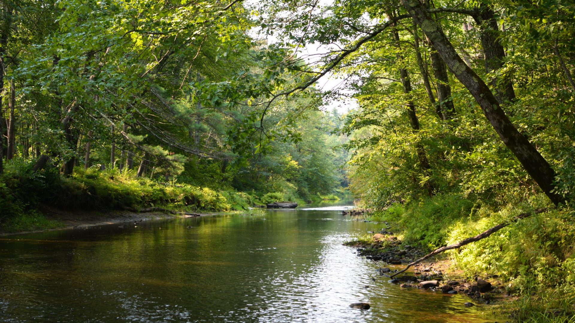
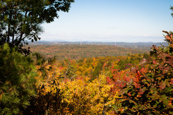
Owned by the Town of North Berwick and managed by GWRLT, this 75-acre conservation area protects the south and highest peak (866′) of Bauneg Beg Mountain. The 1-mile trail to the summit begins with a gentle incline and transitions into a series of switchbacks that offer a moderate challenge and rewarding views. Additional trails can be accessed from the summit.
Note: There is no connecting trail to Bauneg Beg Mountain Conservation Area – North at this time.
Parking: PLEASE DO NOT PARK ON THE SIDE OF FORD QUINT ROAD
Terrain : mountainous, steep slopes. MODERATE to DIFFICULT
